
| Caption | 1944 United States Army map of Malaita Island and the eastern end of Guadalcanal in the Solomon Islands. ww2dbase | |||||||||
| Photographer | Unknown | |||||||||
| Source | ww2dbaseUnited States Army via the University of Texas | |||||||||
| Identification Code | SC 57-3 | |||||||||
| More on... |
| |||||||||
| Photo Size | 3,457 x 4,132 pixels | |||||||||
| Photos at Same Place | Malaita, Solomon Islands, British Western Pacific Territories | |||||||||
| Added By | David Stubblebine | |||||||||
| Licensing | Public Domain. According to the United States copyright law (United States Code, Title 17, Chapter 1, Section 105), in part, "[c]opyright protection under this title is not available for any work of the United States Government". Please contact us regarding any inaccuracies with the above information. Thank you. |
Você gostou deste artigo ou achou este artigo útil? Se sim, considere nos apoiar no Patreon. Mesmo USD $1 por mês já vai longe! Obrigado. Por favor, ajude-nos a espalhar a palavra: Fique atualizado com WW2DB: |
Pesquisar WW2DB
Modern Day Location


Leaflet | © OpenStreetMap
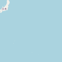
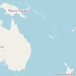
| WW2-Era Place Name | Malaita, Solomon Islands, British Western Pacific Territories |
| Lat/Long | -8.9831, 160.9681 |
Estatísticas Atuais do Site
- » 1,167 biographies
- » 337 events
- » 44,606 timeline entries
- » 1,243 ships
- » 350 aircraft models
- » 207 vehicle models
- » 376 weapon models
- » 123 historical documents
- » 261 facilities
- » 470 book reviews
- » 28,500 photos
- » 365 maps
Citação Famosa da 2ª GM
"We no longer demand anything, we want war."Joachim von Ribbentrop, German Foreign Minister, Aug 1939
Apoie-nos
Por favor, considere nos apoiar no Patreon. Mesmo R$1 por mês já faz uma grande diferença. Obrigado!
Ou, por favor, nos apoie adquirindo alguns produtos do WW2DB na TeeSpring. Obrigado!